
Why Is West Africa’s Geography So Diverse?
 SlidesPostEdit
When I first tried to pin down the geography of West Africa before a research trip, I got buried under conflicting country lists, climate maps, and colonial borders. The real answer is messier and more fascinating: West Africa is a layered region shaped by the Atlantic coast, the Sahel, the Sahara’s edge, and river systems that built empires. For a reliable continental overview, I always start with famous geographic landmarks so the bigger picture clicks.
Table of Content
- What Exactly Counts as West Africa?
- How Do Sahel, Savanna, and Rainforest Compare?
- Which Rivers Shaped West African History?
- What Mistakes Do West Africa Travelers Make?
- Why West Africa Geography Matters for Travel
- Turning West Africa Geography into Practical Plans
- West Africa Geography Questions Travelers Ask
What Exactly Counts as West Africa?
The UN List vs Local Definitions
Officially, the United Nations groups 16 countries into West Africa, from Senegal and Mauritania down to Nigeria. That list is a practical starting point for statistics, visas, and regional maps. But when you talk to people across the region, borders become cultural conversations rather than strict lines on a map.
I learned this the hard way while comparing notes with Ivorian and Nigerian friends. They agreed on Senegal, Ghana, and Mali, then split sharply over Mauritania and Cameroon. Geography gives you a frame, but identity, language, and trade routes fill in the messy human details.
Why Mauritania, Cameroon, and Chad Spark Debates
Mauritania sits in the awkward northwest corner, culturally tied to both the Arab Maghreb and West African Sahel. Cameroon often lands in Central Africa on official maps, yet its western regions share deep cultural links with southeastern Nigeria. Chad is usually Central Africa, though its Sahelian history overlaps with West African empires.
| Country or Territory | Official UN Placement | Common Public View | Main Disagreement |
|---|---|---|---|
| Mauritania | Included in West Africa | Often seen as Northwest Africa or Sahel | Arab-Berber and West African identities overlap |
| Cameroon | Central Africa | Some diaspora place it in West Africa | Cultural ties to Nigeria conflict with official borders |
| Chad | Central Africa | Occasionally linked to West Africa through Sahel history | Not widely accepted as West African |
| Cape Verde | Included in West Africa | Some exclude it due to Creole Atlantic culture | Cultural similarity to the Caribbean is debated |
How Do Sahel, Savanna, and Rainforest Compare?
The Sahel Edge and Desert Influence
The Sahel is the transition belt between the Sahara and the wetter south, running from Senegal through Mali, Burkina Faso, Niger, and into Chad. It is semi-arid, hot, and prone to drought. Many travelers picture all of West Africa as lush jungle, then get surprised by dusty heat in Bamako or Niamey.
The Guinea Coast and Forest Belt
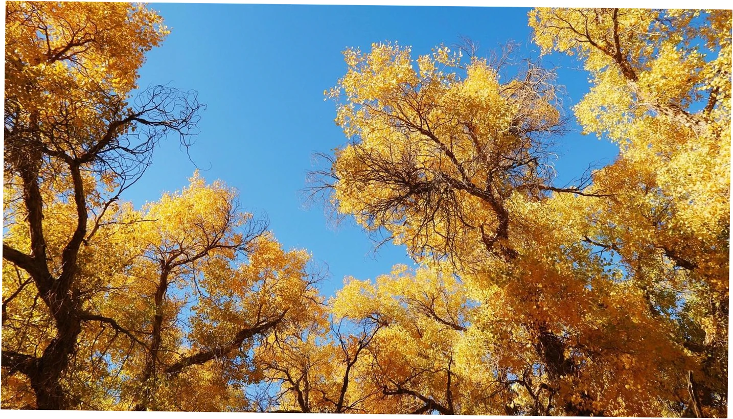
South of the Sahel, the Guinea Coast stretches along the Atlantic with humid forest, mangrove, and heavy seasonal rain. Countries like Sierra Leone, Liberia, Côte d’Ivoire, Ghana, and Nigeria contain this greener belt. The coast also hosts major ports and dense cities, which is why trade and population cluster there.
| Zone | Climate | Example Countries | Travel Reality | Common Misconception |
|---|---|---|---|---|
| Sahel | Semi-arid, hot, one rainy season | Senegal, Mali, Niger | Dusty roads, extreme heat, sparse shade | That all West Africa is tropical |
| Guinea Coast | Humid, heavy seasonal rain | Ghana, Nigeria, Sierra Leone | Muddy roads, lush scenery, busy ports | That coastal weather is dry year-round |
| Forest Belt | Warm, wet, dense vegetation | Côte d’Ivoire, Liberia | Rain gear essential, wildlife and cocoa farms | That forests cover the whole region |
| Sahara Fringe | Arid, very hot days, cold nights | Northern Mali, northern Niger | Long distances, limited services, camel routes | That the desert stops at the coast |
Which Rivers Shaped West African History?
Niger River and Empire Building
The Niger River is West Africa’s lifeline, arcing through Guinea, Mali, Niger, and Nigeria before reaching the Atlantic. Its inland delta supported fishing, rice farming, and trade, which helped empires like Mali and Songhai project power across open savanna. When I compare these waterways to the famous rivers in Africa, the Niger stands out for its unusual bend and historical weight.
Senegal, Gambia, and Volta Systems
The Senegal and Gambia rivers cut westward through dry savanna, creating narrow corridors of fertility and trade. The Volta system in Ghana powered the Akosombo Dam and still shapes agriculture and settlement. These rivers are shorter than the Niger, but they explain why certain towns and borders exist where they do.
| River | Approximate Length | Countries | Navigability | Historical Role |
|---|---|---|---|---|
| Niger | 4,180 km | Guinea, Mali, Niger, Nigeria | Partly navigable, seasonal | Trade, empire expansion, inland delta farming |
| Senegal | 1,790 km | Mali, Mauritania, Senegal | Navigable in lower sections | Colonial trade, Takrur state, coastal access |
| Gambia | 1,130 km | Guinea, Senegal, Gambia | Navigable for much of its length | Trade corridor, narrow national boundary |
| Volta | 1,600 km with tributaries | Burkina Faso, Ghana | Dammed, limited natural navigation | Hydroelectric power, agriculture, settlement |
What Mistakes Do West Africa Travelers Make?
Packing for the Wrong Climate
One of the biggest mistakes is assuming West Africa is uniformly tropical. The Sahel can be brutally hot and dry, while coastal Liberia and Sierra Leone are soaked for months. I packed quick-dry layers and a wide-brimmed hat for Mali, but needed a rain shell and waterproof bag in Ghana’s forest zone.
Underestimating Distance and Borders
Roads between capitals can look short on a map but take a full day or more due to checkpoints, poor surfaces, and seasonal flooding. Border crossings may close early or charge unofficial fees. Community travelers often warn that overland speed is the real budget killer, not accommodation.
| Risk | Official Guidance | Common Traveler Experience | Mitigation |
|---|---|---|---|
| Malaria | Take prophylaxis and use nets | Bites happen even in cities; pills can have side effects | Repellent, long sleeves, sealed rooms |
| Border delays | Check visa rules in advance | Hours of waiting, unpredictable fees, early closures | Carry cash, copies, and patience |
| Seasonal flooding | Avoid flooded roads in rainy season | Whole routes become impassable without warning | Travel in dry season, ask locally |
| Heat and dust | Stay hydrated, limit midday exposure | Sahel heat can exceed 45°C; dust worsens asthma | Electrolytes, mask, flexible schedule |
Why West Africa Geography Matters for Travel
Choosing Countries by Geography and Season
Your route should follow climate and terrain, not just bucket-list names. Dry season from November to March suits Sahel and savanna travel, while coastal forest zones stay wetter longer. If you want river landscapes, aim for the Niger and Volta basins when water levels support boats and roads.
Building a Route Around Rivers and Roads
A smart first trip might link Senegal, Mali, and Ghana by focusing on the Senegal River, the Niger inland delta, and the Volta region. Each stop shows a different geographic zone, from dry Sahel to humid coast. That progression makes the region’s diversity easier to absorb.
Turning West Africa Geography into Practical Plans
Use the country list as a starting point, then overlay climate zones, rivers, and travel seasons. Ask yourself whether you want desert-edge history, rainforest wildlife, or Atlantic coast culture. When you match your interests to West Africa’s physical layout, the overwhelming map becomes a set of clear, doable choices.
I keep a simple mental map: Sahel in the north, forest and coast in the south, Niger River as the spine, and the Atlantic as the exit. That framework has saved me from unrealistic itineraries and helped me appreciate how geography shapes everyday life across the region.
West Africa Geography Questions Travelers Ask
Is Mauritania part of West Africa?
Yes, the United Nations includes Mauritania in West Africa, but many travelers and cultural geographers treat it as Northwest Africa or the Sahel. Its Arab-Berber and West African communities overlap, so the answer depends on whether you use official boundaries or cultural identity. For visas and statistics, follow the UN list.
What is the difference between West Africa and the Sahel?
West Africa is a broad regional label covering 16 countries and several climate zones. The Sahel is a narrower semi-arid belt just south of the Sahara, running through Senegal, Mali, Burkina Faso, Niger, and Chad. So the Sahel is part of West Africa geographically, but not all West Africa is Sahel.
Is West Africa mostly rainforest or desert?
Neither description fits the whole region. Northern West Africa is dry Sahel and desert fringe, the middle is savanna, and the southern coast holds humid forest and mangrove. Rainforest is concentrated near the Gulf of Guinea, especially in Liberia, Côte d’Ivoire, Ghana, and Nigeria.
Which rivers are most important in West Africa?
The Niger, Senegal, Gambia, and Volta are the major systems. The Niger is the longest and most historically significant, supporting empires and inland trade. The Senegal and Gambia create fertile corridors, while the Volta is heavily dammed for power and agriculture.
How do borders affect travel in West Africa?
Colonial borders often cut through cultural and linguistic areas, so crossing between countries can feel abrupt. Land borders may close early, require cash payments, or slow to a crawl during holidays. Always check visa rules and carry extra time, patience, and small bills.
What is the best season to visit West Africa?
For the Sahel and savanna, the dry season from November to March is best because roads are firmer and heat is slightly less brutal. Coastal forest zones remain wet much of the year. If you want river travel, check local water levels before booking.
How much does geography affect trip costs?
Geography affects costs more than many travelers expect. Long distances, poor roads, and seasonal flooding raise transport prices, while remote desert regions have few budget options. Dry-season demand can also push up accommodation, so plan early and build in flexibility.